ELD Training Centre

Aperia self-service Cold Storage
CT Hub 2
Woodsville Secondary School
Kallang is an urban planning area and a subdivision located in the southeastern part of Singapore. It is probably best known for being the location of the Singapore Indoor Stadium & the old National Stadium, as well as the new Singapore Sports Hub. It is also where Singapore's first airport, Kallang Airport is located.
The Kallang River which meanders through the area is famous for its water sports. The source of the river is the Lower Pierce Reservoir, and at more than 10 kilometres, it is the longest river in Singapore.
Kallang is not an HDB town on its own. It merges with the estate of Whampoa to form the town of Kallang/ Whampoa. The Kallang Planning Area, however, includes other estates such as Farrer Park and part of Kampong Glam.
Estates[]
| Name of Estates | Location | Structures in the Vicinity | Accessibility |
|---|---|---|---|
| Bendemeer | Areas around Boon Keng MRT Station and along Serangoon Road | Boon Keng MRT Station, Hong Wen School, Bendemeer Primary School, Bendemeer Secondary School, Kallang Community Club, Kallang Neighbourhood Police Post | Boon Keng MRT Station and buses |
| Geylang Bahru | Areas along Geylang Bahru | Kallang Basin Swimming Complex, future Geylang Bahru MRT Station | Buses |
| Kampong Bugis | Areas along Kallang Riverside and south of Kallang Road | Kallang Riverside Park | Buses |
| Tanjong Rhu | Southern Kallang | Dunman High School, Stadium MRT Station, Singapore Swimming Club, Singapore Sports Hub, Kallang Theatre, Kallang Leisure Park | Buses |
| Crawford | Areas near to Lavender MRT Station and along Crawford Street | Kallang Riverside Park, ICA Building | Lavender MRT Station and buses |
| Kallang Basin | Industrial estates along Kallang Way | ||
| Lavender | Areas around King's George Avenue, Jalan Besar and Lavender Street | Jalan Besar Stadium | Lavender MRT Station and buses |
| Kallang Bahru | Areas along Kallang Bahru | Kallang Distripark | Buses |
| Boon Keng | Areas near Kallang MRT Station | Kallang MRT Station, Lorong 1 Geylang Bus Terminal | Kallang MRT Station and buses |
| Kampong Java | Areas near Farrer Park MRT Station | Farrer Park MRT Station, City Square Mall | Farrer Park MRT Station and buses |
Etymology[]
Kallang is an old Malay reference to the orang laut (people of the sea), called orang biduanda kallang, who lived in the vicinity of the Kallang River and Singapore River. At the time of Raffles' landing in Singapore in 1819, there were about 500 orang biduanda kallang. In 1824, the Temenggung moved the orang kallang to the Pulai River in Johor. They consisted of about 100 families, but in 1847 most of them died of a smallpox epidemic. By 1848, the orang kallang were virtually extinct.
There are other possible meanings for this particular place name. Kallang may also be a corruption of the Malay word kilang, meaning "mill" or factory". There were saw mills and rice mills here. Another explanation for the origin of Kallang is that it is derived from galang, which means "to put a boat on wooden stocks or rollers", an appropriate term as the Kallang area straddles both sides of the Kallang River.
Geography and landmarks[]
Kallang is often known commonly as Kallang Basin. The area is drained by the Kallang, Geylang, Rochor and Whampoa rivers, and the Pelton Canal. The perimeter of the area is made up of MacPherson in the north to Marina East in the south, Downtown Area in the west to Geylang in the east. The Kallang River, the longest river in Singapore, meanders through the area, and is a popular waterway for water sports.
Kallang is home to many light industrial estates, such as pipe makers, garment factories. Many heavy industry factories have been relocated away from this area, in order to promote residential use. Offices are often situated in Kallang for companies unwilling to pay for the high rent in the nearby Central Area, Singapore's central business district west of Kallang.
The housing estates, constructed by the Housing Development Board (HDB) in Kallang were built in the 1970s and 1980s. Some blocks are planned to be reconstructed under the Selective En bloc Redevelopment Scheme (SERS) to redevelop the area, whose demographics are dominated by the middle-aged. New blocks which are 30 stories high are now prominent in the skyline of the area, with more being planned to be built under the new HDB construction policy. A notable major redevelopment is underway in the Old Airport estate, where many of the low-rise blocks have been demolished.
The Singapore National Stadium is located at Kallang, which was the venue of many sports events and featured the National Day Parade almost every year until it was officially closed on 30 June 2007. It was demolished to make way for the Singapore Sports Hub which is expected to be ready in April 2014.
The Kallang Cricket Ground is another sporting venue located in the district, and has played host to several One Day International cricket matches. In more recent times however, it is mainly used to host domestic competitions, and minor international matches, such as those between Singapore and Malaysia.
The Kallang Riverside Park along the Kallang River is a riverine park managed by the National Parks Board. On the side near to the Singapore Sports Hub is a beach while the other side near to Crawford Street is a pedestrian walkway. The walkway is connected to the Gardens by the Bay at Marina Centre.
Kallang Park Connector is part of the Park Connector Network managed by the National Parks Board. As their name imply, these connectors aim to form a continuous loop which would hopefully connect all the major parks within Singapore. The Kallang Park Connector runs parallel to Kallang River, the longest river in Singapore, except the stretch around Woodsville Interchange. It is 7.6km long and hence the third longest Park connector in Singapore, after Ulu Pandan Park Connector and Coastal Park Connector which are 8.5km and 8km long respectively.
One landmark in Kallang was the large blue tubular container that marked the location of the Kallang Gasworks. It was completed in 1862, when the piped gas supply was turned on in Singapore. It ceased production in 1997, and Senoko Gasworks took over providing gas. The place has been marked as a historic site by the National Heritage Board. Only Gasholder No. 3, with its structural columns, has been preserved.[1][2]
Kallang Theatre[]
Kallang Theatre is a theatre. PAP Community Foundation had their graduation ceremony in 2003.
Kallang Park[]
Kallang Park (Template:Zh, Template:Lang-ms) was a large public park located in Kallang, Singapore. It existed from 1959 to early 1970s on the site currently occupied by the Singapore Sports Hub.[3]
Kallang Park was so named because it was built on the site of the former Kallang Airport runway, on the eastern bank of the Kallang Basin. The area is now part of the Kallang planning area.
Its Chinese name "劳动公园", however, translates to "labour park". Its Malay name "Taman Kallang" is a translation based on the English version.[4]
Plans to convert the lands of the former Kallang Airport into public spaces were first announced by then-Minister for National Development Ong Eng Guan as "Project Lung". It was constructed with the involvement of both the government and volunteers.[5]
In July 1969, the Wonderland Amusement Park was integrated into the Kallang Park, costing an estimated amount of S$3 million in construction. In 1970, Singapore's largest cinema at that time, the Kallang Cinema (now the Kallang Theatre), was built in the Kallang Park.
By 1973, the former National Stadium was erected at the site of the Kallang Park.
Today, the same site has been redeveloped into the Singapore Sports Hub, consisting of the new National Stadium, Singapore Indoor Stadium and numerous other sports facilities. The name "Kallang Park" is now preserved in the row of godowns along Jalan Benaan Kapal.
Kallang Park had entertainment facilities for both adults and children, including kart racing, agriculture shows, roller coaster, ferris wheel, nightclub, bowling centre and ice skating rink, among others. Its most notable feature, however, was perhaps a fountain gifted by the Singapore Chinese Chamber of Commerce and Industry, noted for its futuristic design.
Jurisdiction[]
Kallang is mostly under the Moulmein-Kallang Group Representation Constituency, which operates the local town council responsible for the general maintenance of the area. Part of the area around Boon Keng MRT Station is probably under Whampoa Single Member Constituency. Areas around the Old Kallang Airport Estate and Tanjong Rhu are probably under the Mountbatten Single Member Constituency.
Transportation[]
As it is in proximity to the Central Area, many transportation services pass through Kallang, and public bus services are abundant, integrating it into Singapore's transport system.
Road network[]
The streets in Kallang were not named using the numeric system. It is named after the estates of Kallang. Some examples are Boon Keng Road after the estate of Boon Keng, Stadium Boulevard after Stadium estate, Old Airport Road and Mountbatten Road after Old Airport and Mountbatten estates and Tanjong Rhu Road after Tanjong Rhu. Some of the roads are also named after names of famous person, such as Horne Road along Kallang Road. The word "Kallang" are also found in roads such as Kallang Bahru, Kallang Road, Kallang Tengah and Kallang Way.
Kallang Road is a major road in Singapore linking Sims Avenue/Geylang Road to Victoria Street, serving the area of Kallang. Landmarks along Kallang Road include the Kallang Riverside Park, the ICA Building and the old Kallang Gasworks.
Sims Way is a temporary road that goes all the way to KPE replacing parts of Mountbatten Road. On 5 June 2005, it was amended to ply Sims Ave and Sims Way with the partial closure of southbound Mountbatten Road, then on 2 July 2005, the northbound part of Mountbatten Road was closed. It was built as part of the Contract 422, together with the extension of Glass Road across the North-South Expressway in 2000-01.
As Kallang was located at the fringe of Downtown Singapore, it has an extensive road network which serves the area well, as well as connecting to other estates and major towns in Singapore. The Pan Island Expressway (PIE), East Coast Parkway (ECP) and Kallang-Paya Lebar Expressway (KPE) links Kallang up with Singapore's expressway network. With the PIE, drivers can change onto the Central Expressway (CTE) which in turn, is connected to Seletar Expressway (SLE) and Tampines Expressway (TPE) in the north, and Ayer Rajah Expressway (AYE) in the south. The CTE also serves part of the downtown of Singapore.
The following roads connect Kallang to other parts of Singapore:
- Kallang Road links Kallang to the downtown
- Geylang Road and Sims Avenue links Kallang to Geylang as well as the towns in the eastern part of Singapore;
- Serangoon Road links the ethnic neighbourhood of Little India to Kallang;
- Jalan Besar links Kallang to the city and estates such as Rochor;
- Crawford Street and Republic Avenue links Kallang to Marina Centre and eventually, the downtown;
- Mountbatten Road links Kallang to the East Coast area of Singapore;
- Nicoll Highway links Kallang to the downtown.
The following expressways pass through Kallang:
The following roads run between the estates of Kallang:
- Kallang Bahru serves the estate of Kallang Bahru;
- Boon Keng Road and Upper Boon Keng Road connect Boon Keng to Kallang;
- Kallang Way serves the industrial estate of Kolam Ayer;
- Kallang Avenue, Kallang Junction and Kallang Place serve the industrial estates along Kallang Avenue;
- Stadium Boulevard serves the upcoming Singapore Sports Hub;
- Old Airport Road serves the Old Kallang Airport Estate;
- Tanjong Rhu Road serves the neighbourhood of Tanjong Rhu in southern Kallang;
- Bendemeer Road serves the estate of Boon Keng.
Rail service[]
Kallang is served by Mass Rapid Transit (MRT) lines, East West Line, North East Line and Circle MRT Line, stations at Kallang MRT Station, Boon Keng MRT Station, Mountbatten MRT Station and Stadium MRT Station. People going to Singapore Indoor Stadium would prefer using the Stadium MRT Station instead of the Kallang MRT Station.
Kallang is also served by the future Bendemeer MRT Station and Kallang Bahru MRT Station along the Downtown MRT Line.
Air travel[]
Kallang was home to Singapore's first airport, opened on the 12 June 1937 by Sir Shenton Thomas, the then Governor of Singapore. The airport had the advantages of combined facilities for both land and marine aircraft. Due to an increase in demand the Singapore International Airport was built in Paya Lebar. Kallang Airport ceased operations during the mid-1950s. The airport control building was eventually converted into the People's Association of Singapore HQ on the 1 July 1960 and the surrounding area has since been redeveloped.
Schools in the area[]
A number of schools were located in Kallang. They are Dunman High School, Bendemeer Primary School, Bendemeer Secondary School and Hong Wen School. The temporary school compound for the SJI Junior is also located in Kallang, along Geylang Bahru, next to the Kallang Basin Swimming Complex.
Leisure Park Kallang[]
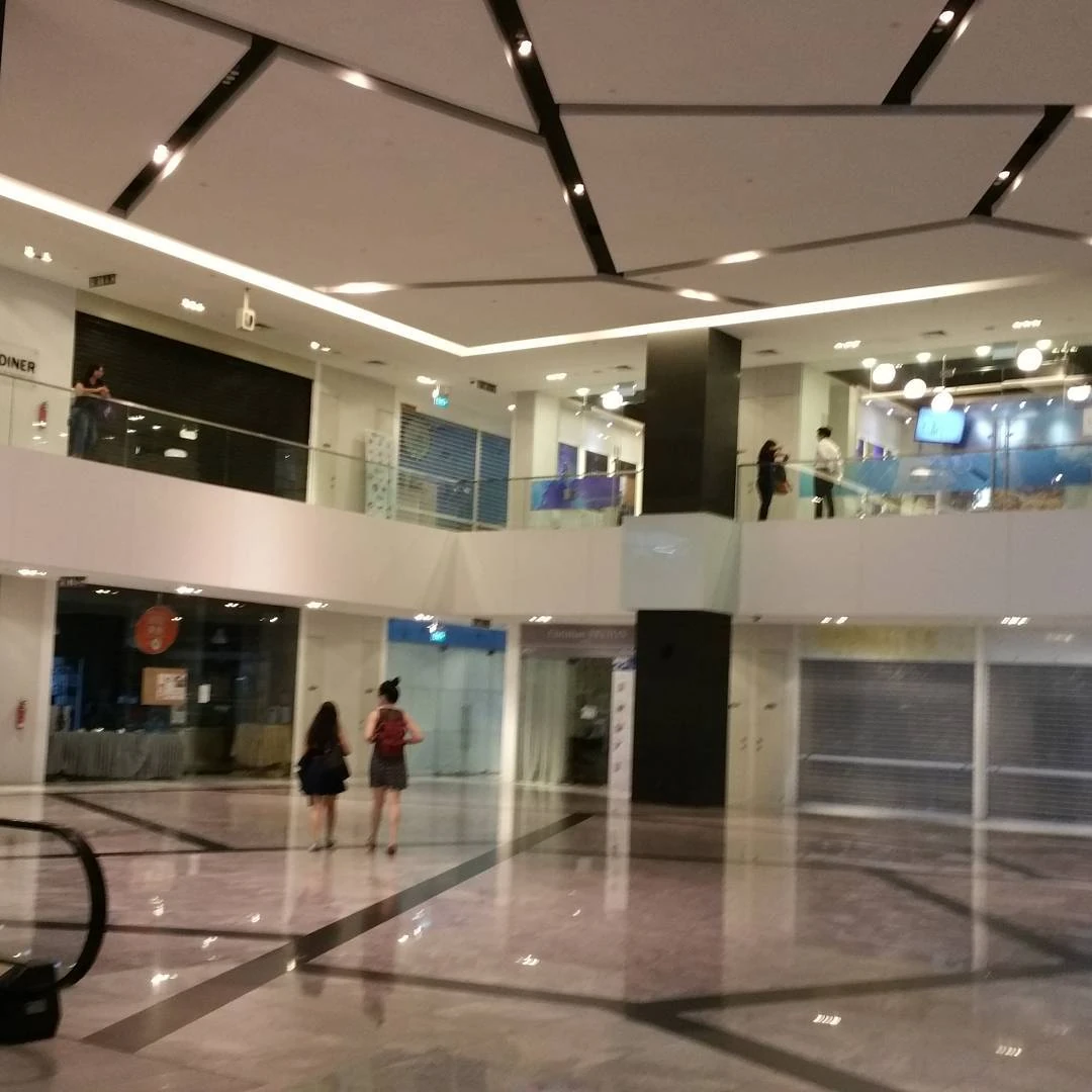
Leisure Park Kallang (or Kallang Leisure Park) is a shopping mall in central Singapore. It is served by Stadium and is within the vicinity of Kallang. It is located in Kallang and near to Sports Hub.
Leisure Park Kallang was built in 1982 as the country's first purpose-built entertainment centre. At the time of completion, it featured a bowling alley, three-screen cinema and ice-skating rink. Located next to the National Stadium, it served the crowds after major events there and it popularly peaked in 1990s. The mall began to lose popularity in 2002, when construction works for Stadium MRT commenced. It was sold to Jack Investments in 2004 and shut down, the mall was rebuilt in 2007 with newer tenants such as Cold Storage, Filmgarde, Song-Cho, Shine Korea, Mjiyi, Lim's Art & Living, Bright House Lighting and Homeation. Timothy Mok had went on 12 October 2009 to Kallang Leisure Park as well as 23 February 2013 and 20 July 2013.
Housing[]
ARC 380 is a tremendous 16 storeys freehold mixed development new launch commercial building. This prominent development is expected to be completed in 2018. ARC 380 comprises of 144 offices along with 23 commercial units. The commercial units include restaurants and shops to serve the growing needs of this location and of course the needs of the compound. This highly anticipated new property launch is located in the Prime Location of Singapore’s District 12 near the upcoming Bendemeer MRT station. It is also situated in between the 2 nearest MRT stations – Lavender and Bugis MRT. ARC 380 is the former famous Lavender food centre, a project by the renowned developer Tong Eng Group. This new launch offers the elegant facilities and landscape sky terrace that has made it a prominent land mark in Jalan Besar. The location of ARC 380 is really prominent and within the close proximity you will find Marina Bay, Paya Lebar Commercial Hub and Central Business district and the Royal Square Medical Hub at Novena. These made this commercial building legitimate investment opportunity. Other high potential upside of the district that boosted up the investment opportunity is several MRT stations, expressways, superior traffic system and other commercial development near this commercial hub. In short, ARC 380 is a rare combination of elegance and everything that matters in secure investment. There will also be a food court in ARC 380, and it will be similar to One KM. It is also formerly Eminent Food Court.
References[]
- ↑ Sharon Seow, "Exploring Jalan Besar", Voices@Central Singapore Issue No. 35, Jul/Aug 2007.
- ↑ Script error: No such module "citation/CS1".
- ↑ https://hm.onemap.sg
- ↑ http://navalants.blogspot.com/2010/11/1949.html
- ↑ https://remembersingapore.org/2016/11/01/kallang-river-history-landmarks/
External links[]
Template:Commonscat-inline
| {{{header}}} |
|---|
| {{{body}}} |
Template:Public housing in Singapore Template:Coord missing